Features / Sensors and satellite
Weather, sensors and satellite, with timely alerts.
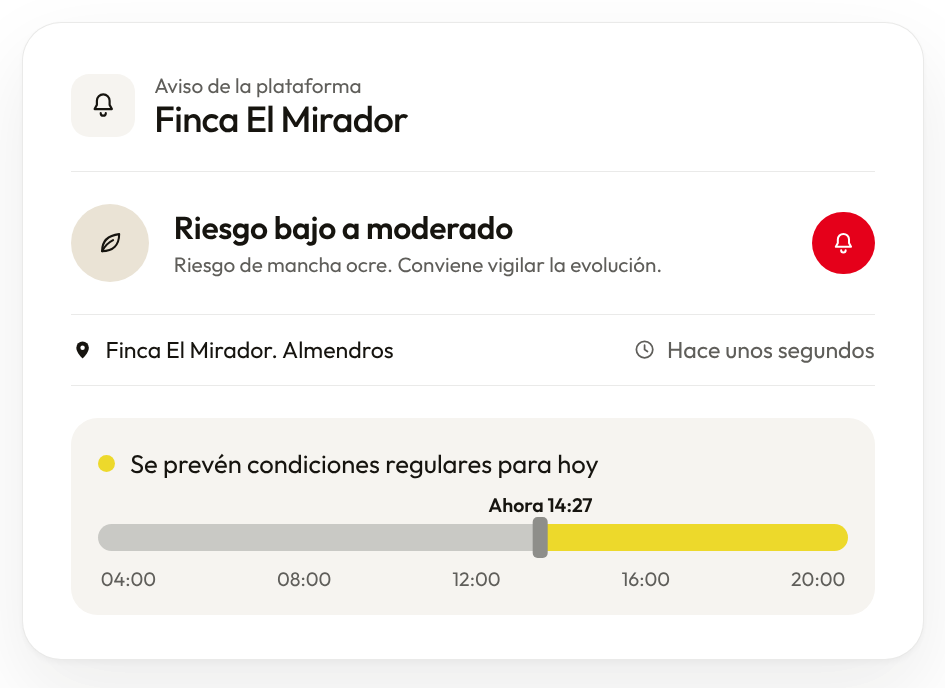
Real-time weather from your own or integrated stations, sensors, pest models, satellite indices and alerts, in the same place you work.
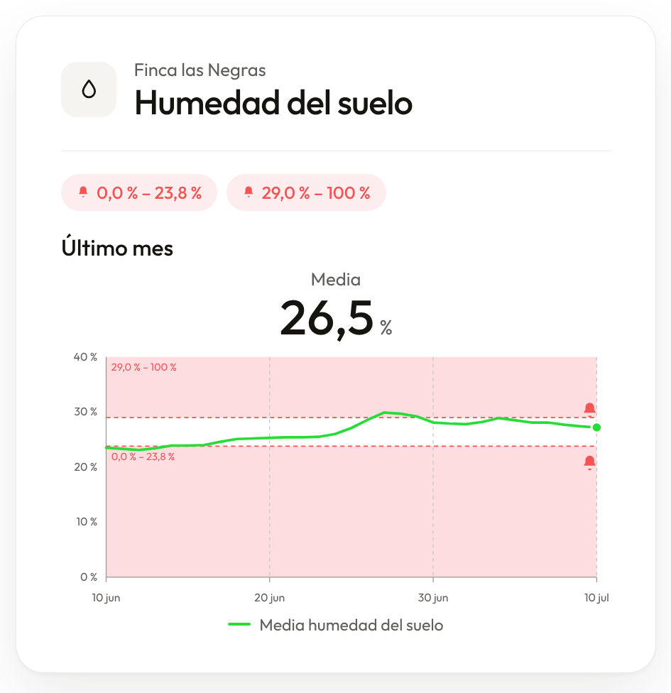
Book a demoFinca las NegrasSoil moisture
Last month · average26.5%
10 Jun20 Jun30 Jun10 Jul
One place to look. Not five.
Weather, sensors and satellite imagery usually sit in separate apps. In Visual Core you see them together, in the context of each plot, and the platform alerts you when something needs your attention.
What it does
01
Real-time weather
Your own or integrated stations, with the forecast for each plot.
02
Sensors and soil moisture
The readings from each sensor, with an alert when they go out of range.
03
Satellite indices and alerts
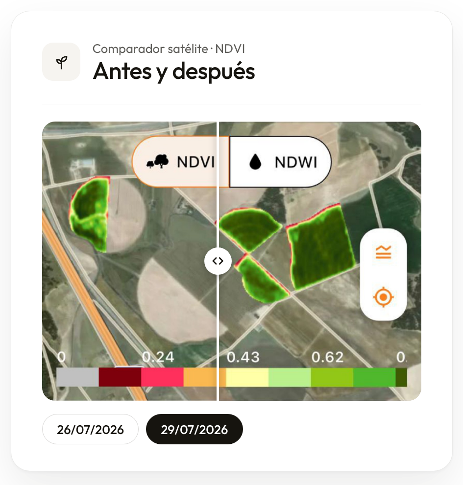
Compare images from different dates and detect changes in crop vigour.
The best time to treat
The platform suggests when to treat based on pest models and the weather, and the person in charge reviews and validates it.
Shall we talk?
Tell us which process you want to start solving.
Book a demo