Features / Territorial analysis
A map of the territory, from the very first hours.
Farmers, livestock breeders and technicians report from their phones how their holding has fared after a weather event. The information arrives organised on a map to coordinate the response.
Book a demoTerritorial analysisHow it has affected you
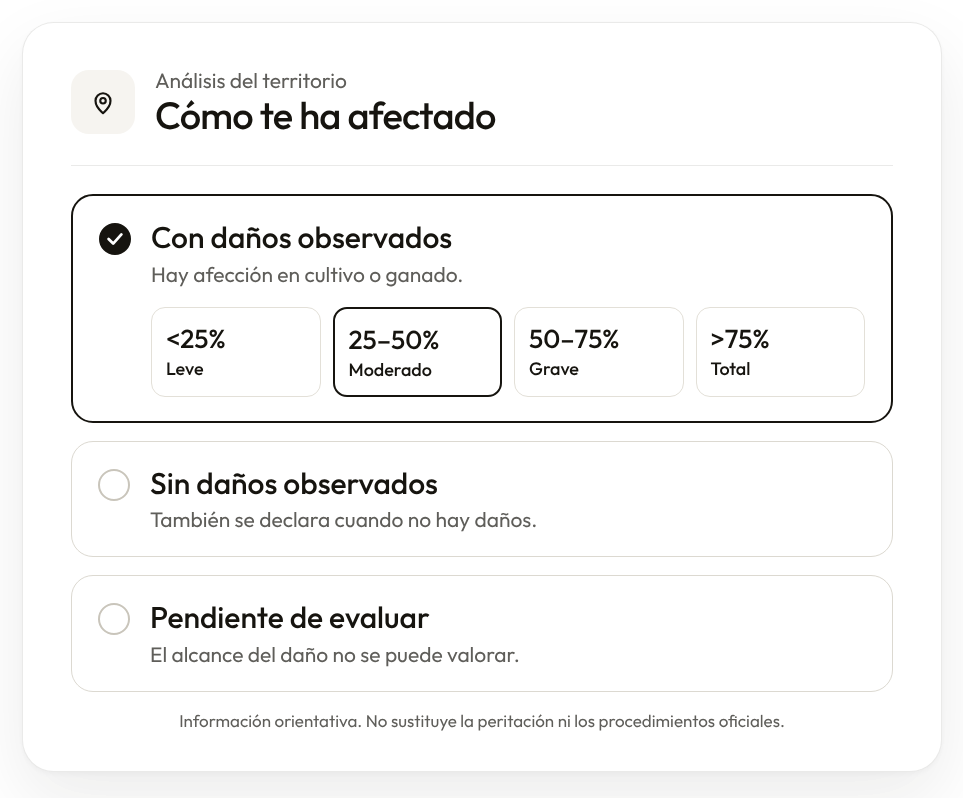
Damage observedCrops or livestock are affected.
<25 %Minor25–50 %Moderate50–75 %Severe>75 %Total
No damage observedReported even when there is no damage.
Pending assessmentThe extent of the damage cannot be assessed yet.
The most useful information is on each plot.
After a DANA storm, hail or frost, data arrives late, scattered and without a precise location. Here it is reported with its location and organised on a map.
What it does
01
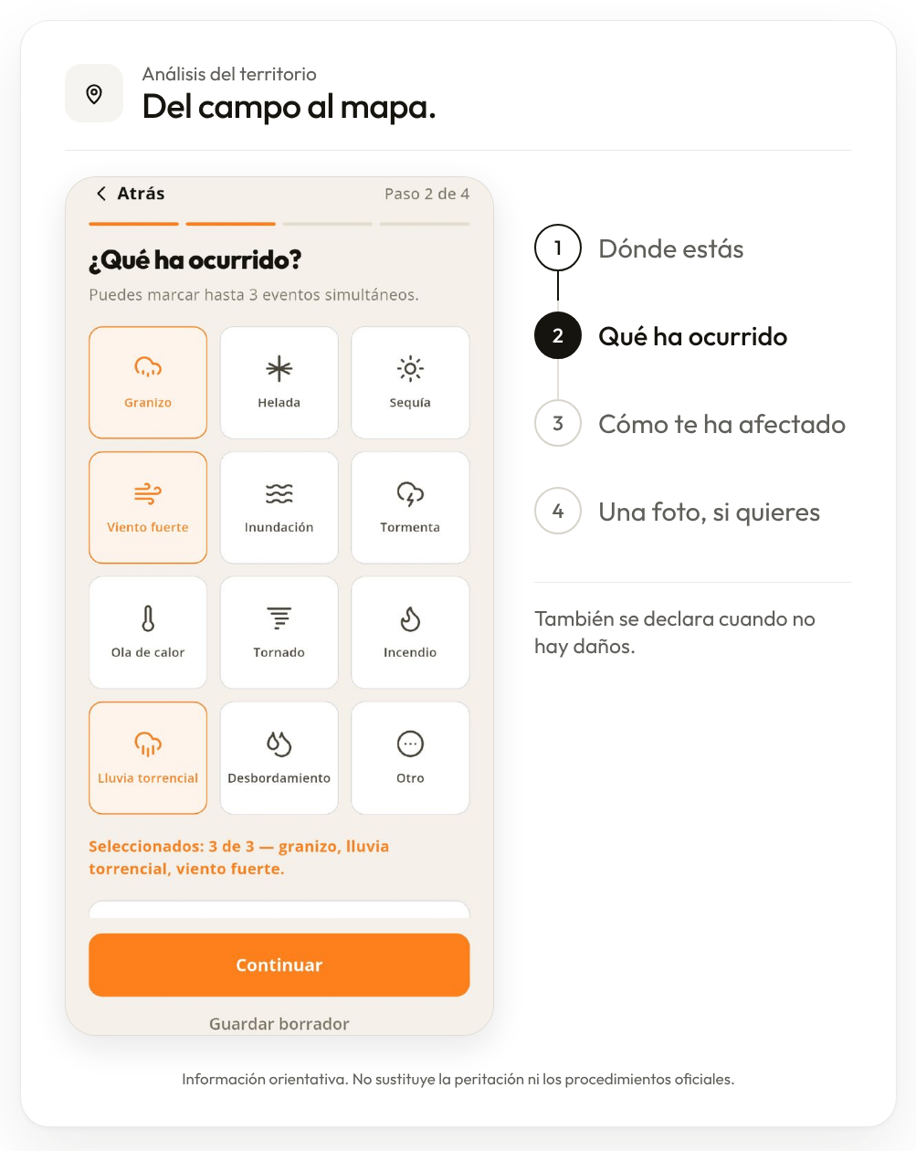
Report in four steps
Where you are, what happened, how it has affected you and a photo if you like. No account needed.
02
Even if there is no damage
Reporting that there has been no damage counts too: it helps set priorities.
A map of the territory
Partner organisations and public authorities see the reports on the map, with filters and indicators by area and municipality.
Territorial analysis14 points
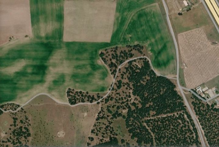
4 with damage10 without damageDamageNo damage
Connects with
Shall we talk?
Tell us which process you want to start solving.
Book a demo